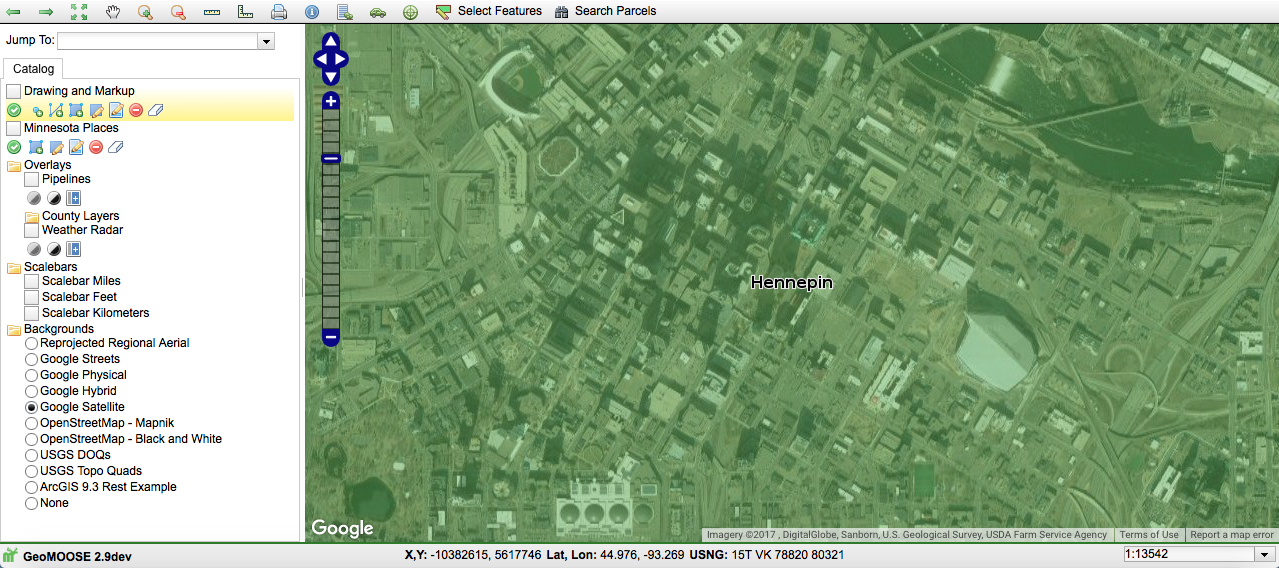
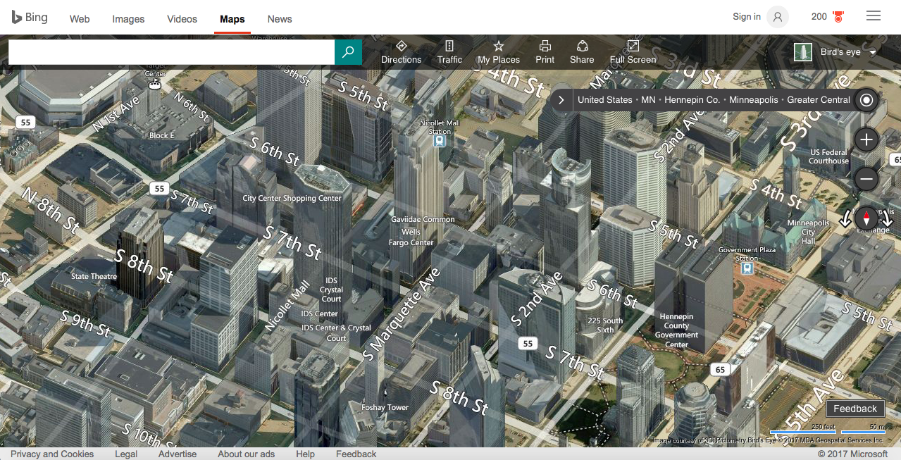
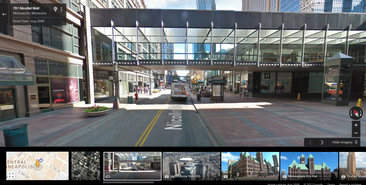
Here are four examples of basic capabilities that make GeoMOOSE a top notch product straight out of the box. Throw in some basic programming skills and creativity, and the possibilities are endless.
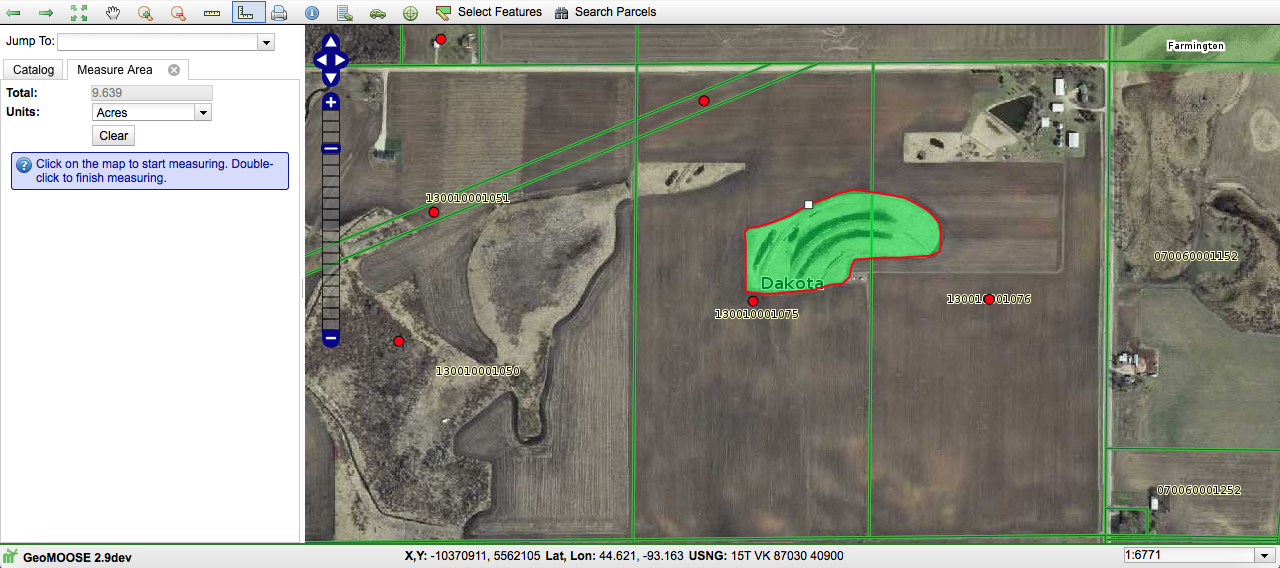
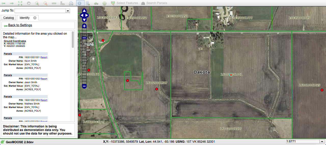
Identify Gadget
The Identify Gadget allows users to call up in the side bar any piece of available information about a particular geographic area, such as the owner, acreage, market value, address, home style, dwelling type, and much more.
Public Data
GeoMoose excels at accessing multiple data sources all in one interface. Connect up any publicly available online map or data source, and you are only a point-and-click away from being able to instantly see that information a view that best suits your needs.
U.S. National Grid
U.S. National Grid, FEMA's mandated geo-location communication standard for emergencies and disasters, is already built into GeoMOOSE. As your cursor moves, the USNG location is shown along the bottom edge of the viewing area.

