Some Reasons to Use GeoMOOSE Include...

See Everything - In One View
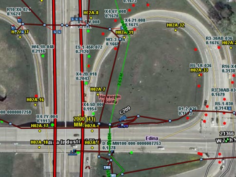
Buried pipes, overhead power lines, survey markers, road right-of-ways, noxious weeds, protected habitats; these are just some things in scenarios ranging from infrastructure planning to environmental monitoring that GeoMOOSE can display on-the-fly in a unified collaborative view. If you have this type of need, GeoMOOSE is for you!

Works Across Platforms
Install it once on a shared server and everyone on your team will instantly see data updates from other team members no matter what hardware they are using to access the internet.

OGC Compliant Software
By being Open Geospatial Consortium (OGC) compliant software, GeoMOOSE is plug and play with pretty much the known universe of industry standard code. You won't get trapped out on some proprietary dead end.

Cost
GeoMOOSE is Free and Open Source Software for Geospatial (FOSS4G) due to dedicated efforts by the Open Source programming community and supporters who believe in shared financial responsibility for the project. Which means you get an extremely stable, state-of-the-art program that is free to download and start using.

Your Data is Yours
No one but you can claim ownership of your data. The data belongs to you, and you alone - not some highway bandit company holding your data hostage as a way to make you pay until the end of time.

Diverse Developers
The GeoMOOSE development team hails from many different backgrounds and continues to grow. That expertise ensures a continuous product development cycle that is always anticipating the future.

Open Source is Everywhere
Open Source is in nearly all information technology we use. Experts say up to 80% of commercial software have some open source components. GeoMOOSE is proud to be part of that Open Source reality.

Stability
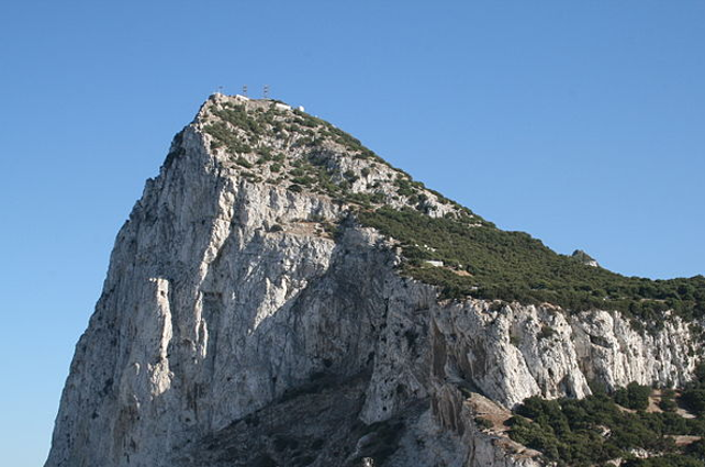
With a track record of nearly 15 years of continuous development, GeoMOOSE has endured while many commercial geospatial products have come and gone. Like the Rock of Gibraltar, GeoMOOSE is rock solid and here to stay.

1,000 downloads/month
The GeoMOOSE worldwide user community continues to grow. With downloads now approaching 1,000 per month, there is a strong likelihood someone you know is already using GeoMOOSE.
In 2010, the Minnesota Department of Transportation (MnDOT) started using GeoMOOSE as part of their "Georilla" system to manage and view geospatial data. Since that time, demand for system access has only gone up. And, the accountants love it too - during 2015 alone, GeoMOOSE saved MnDOT 5,100 man hours and over $180,000 in cold, hard cash.

